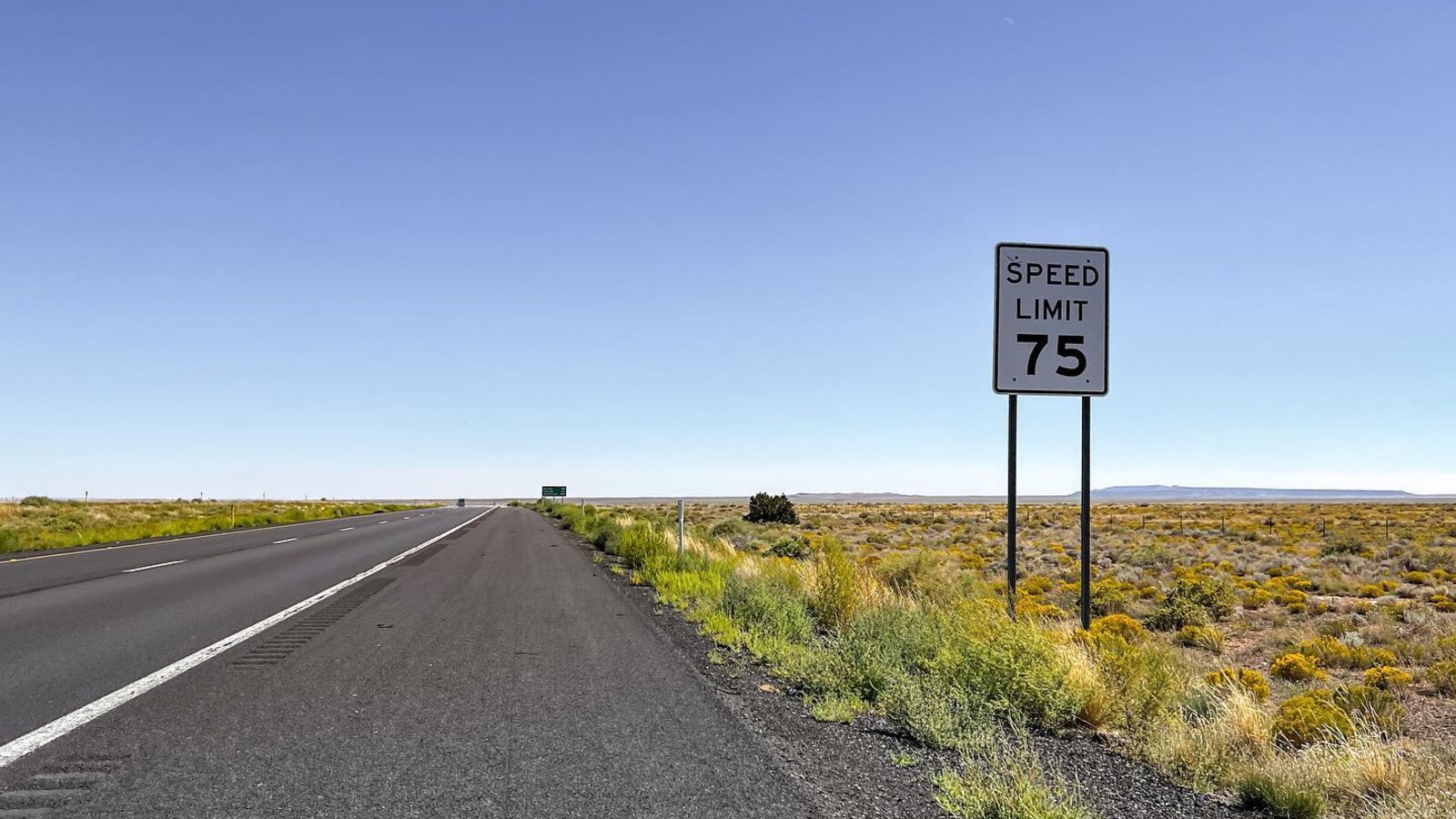
Interstate 40: America's greatest bike trail.
The speed limit is 75. There is a shoulder. There are trucks. There is no universe in which anybody should call it a bike trail, which is exactly why we did.
Day 6 took us from the red rocks around Sedona through Two Guns and onto I-40. Day 5 had been mechanical trouble in Peach Springs. We got the bikes moving, stopped talking about it, and found a completely new problem to complain about.
Progress.
Roads look different from a bicycle. Something that feels normal at highway speed can feel insane at 18 miles an hour. The shoulder is full of debris. The traffic is loud. A small crack becomes a real object. A piece of tire that a car never notices is exactly the kind of thing that can end your afternoon.
The route spreadsheet can tell you the road number. It cannot tell you how the road will feel when a truck passes a few feet away.
That was a repeating lesson across Arizona. On the map, the line worked. On the bike, every section had its own opinion about the plan. Shoulder width, pavement, traffic, heat, wind, construction, and whatever sharp thing was waiting for a tire all got a vote.
The landscape was absurdly good. Red rock, open desert, huge sky. It is hard to stay annoyed when the view looks like that. It is also hard to enjoy the view when you are watching the next ten feet of shoulder for metal and glass.
Both things can be true.
Day 7 got us to Winslow. Yes, we stood on the corner. There was no way we were riding through town without doing the Eagles bit. A cross-country ride should not become so serious that you pass an extremely obvious joke and refuse to stop.
So we took it easy for a minute.
Then we kept riding toward the state line.
Day 8 brought us to the Continental Divide on Route 66. Another big marker. Another photo. Arizona had given us rough roads and some tough luck, and New Mexico looked promising from where we were standing.
The word “promising” was doing a lot of work. We had just arrived. We did not know what the next road would be like. That is one of the nice parts of crossing a state line on a bike. You can decide immediately that the new place will be better, based on almost no evidence.
Arizona had been beautiful. It had also made us work for every mile. The heat was real. The road surfaces were not always friendly. The bikes had already demanded attention. We had spent time on an interstate shoulder under a sign that told everybody else they could go 75.
Still, we were moving east.
That is the basic scorecard on a trip like this. Not whether the day was elegant. Not whether the route matched the spreadsheet. Did we solve what broke? Did we eat? Did we find enough water? Did we reach the next place with the bikes and people mostly intact?
For Days 6 through 8, the answer was yes.
We rode red rocks, a ghost town, America's least convincing bike trail, Winslow, Route 66, and the Continental Divide.
Arizona did not make it easy.
New Mexico, your turn.